

Why hiking in Cotswolds?
The Cotswold Way follows the western edge of the Cotswold Hills, climbing onto open escarpment before dropping into sheltered combes. Beech woodland, rolling pastures and stone-built villages feature along the route, with long views across the Severn Vale. Wildflower meadows and shaded woodland appear over short distances. From the escarpment, views extend west towards the River Severn and the Malvern Hills.
Regular steep climbs and descents shape much of the trail, with surfaces shifting between grassy tracks, woodland paths, stony lanes and short road sections. The waymarked route can be split into day sections or followed as local circular walks. Near Chipping Campden, it climbs Dover’s Hill and crosses fields to Broadway Tower. Farther south, Cleeve Hill marks the trail’s highest point, before the route reaches Haresfield Beacon and Painswick. Crisp winter days often bring clear escarpment views, while spring and autumn are good times for the beech woods. The trail is open year-round, with signposts bearing the acorn symbol.
A day off can include Bath Abbey, where a carved stone disc sits in the pavement outside the west doors. Belas Knap Neolithic burial chamber and Hailes Abbey are further historic sites to see.
Highlights
Follow the Cotswold Way
The trail is well waymarked, with options to walk the full route, shorter sections or local circular walks.
Link trail stages by transport
Public transport can reach a section’s start, with the walk ending near another place served by public transport.
Watch for limestone mud
Limestone paths can be slippery when wet; longer walks on field paths call for boots with ankle support and good grip.
Reset in beechwoods
Forest bathing can help slow the mind; Cotswold woodland walks include ancient beechwoods above Painswick.
Train on the escarpment
The Cotswold Way follows the western edge of the Cotswolds, with steep climbs and descents across rolling hills.
Destination
Destination
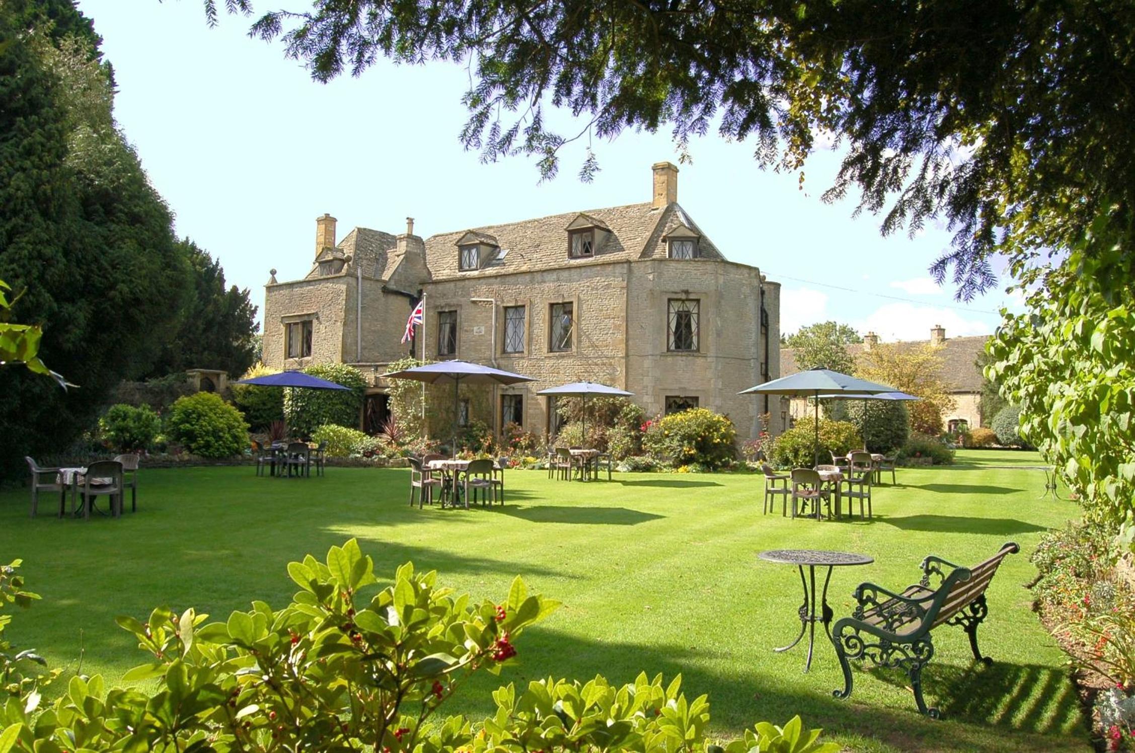
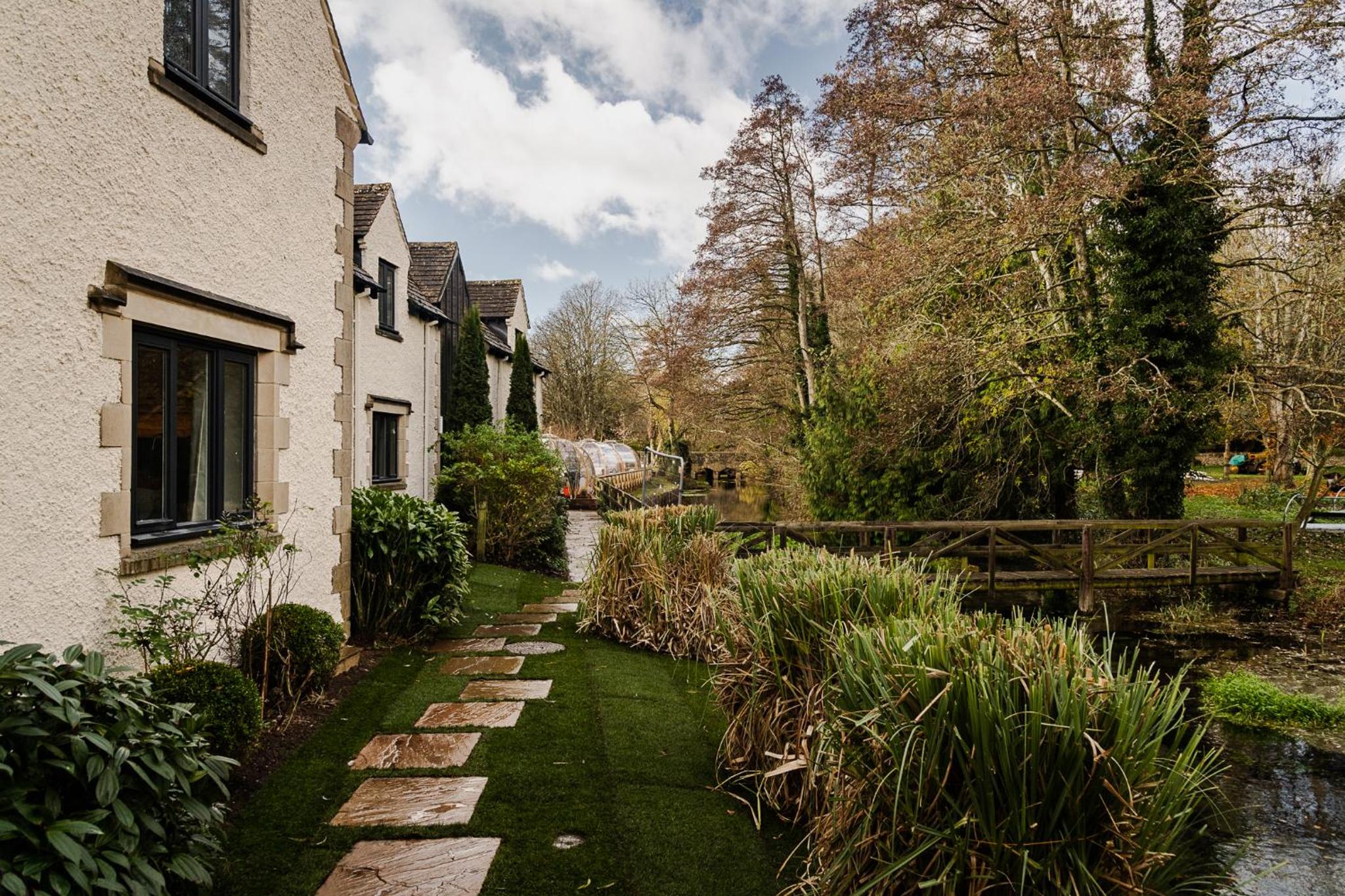
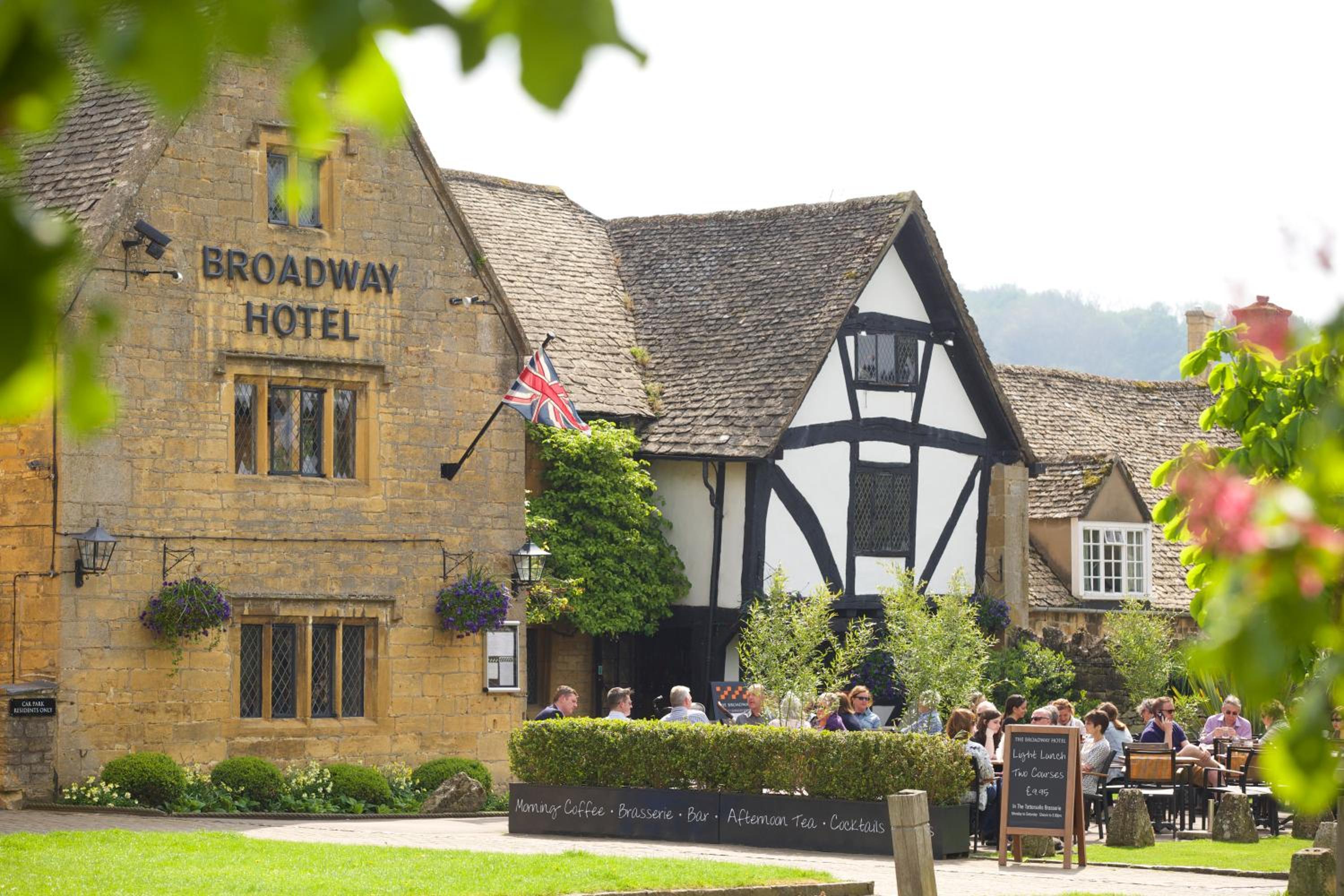
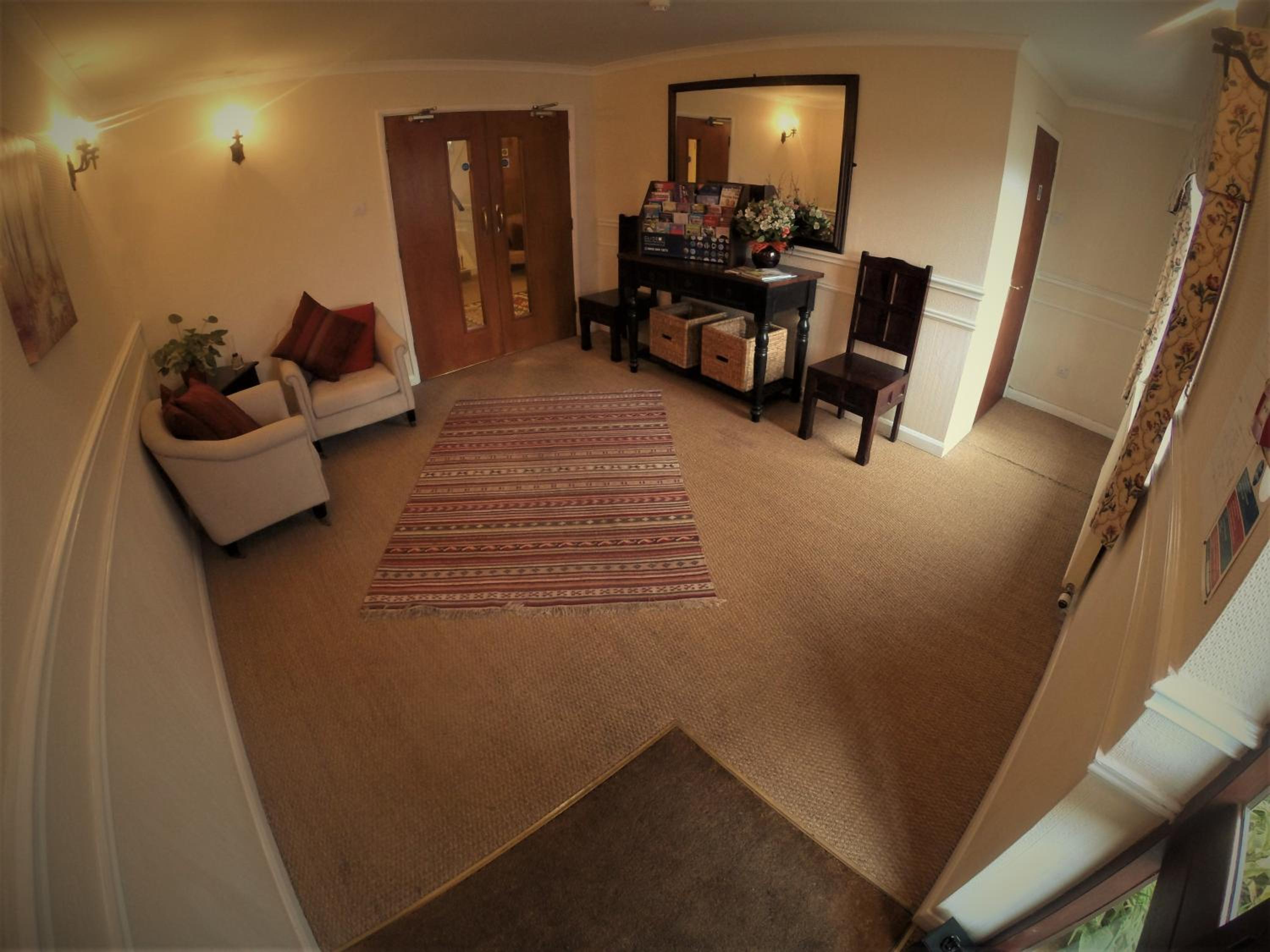
Where to stay
10 curated stays ·

When to visit
Best seasons for hiking in Cotswolds
May and June are strong months for hiking, with spring wildflowers, bluebells in the woods and long daylight for full days on foot. July and August bring the longest days, with paths and villages at their busiest. Exposed sections can become uncomfortably hot, so an early start helps. September offers a quieter balance, with mild temperatures, clear views from the escarpment and walking conditions among the best of the year.
April can bring sharp showers, and paths may remain muddy after rain. October rewards walkers with autumn colour and quieter trails, but it is the wettest month on average, and ground softens as the season progresses. Shortening daylight calls for earlier starts. Winter walks are possible, though paths can be muddy, slippery and waterlogged, with frost or ice on shaded slopes. Short days limit daily distances.
Frequently asked questions
Practical answers about hiking in Cotswolds: weather, families, highlights and more.
The Cotswold Way follows the western edge of the escarpment, but it has many steep climbs. From Winchcombe, the trail climbs through the Sudeley Estate to Belas Knap, drops steeply through Breakheart Plantation, then climbs again to Cleeve Hill, the trail’s highest point.
The walk from Bourton-on-the-Water to Lower and Upper Slaughter follows the River Windrush through water meadows, then the River Eye upstream, returning by quiet lanes and field paths. It is mostly flat and well-waymarked. The route passes Lower Slaughter’s millpond and stone cottages.
Mobile phone signal is patchy throughout the Cotswolds, so a downloaded route alone may not be enough. Footpaths use yellow arrows and bridleways blue arrows, but waymarks can be missing or obscured. Carry a paper map as backup and check local signs. On the Cotswold Way, follow signposts if diversions or closures appear.
Carry a waterproof jacket even in summer, as English weather is unpredictable. Winter paths can be muddy, slippery and waterlogged, while exposed sections of the Cotswold Way can become uncomfortably hot during heatwaves. The route also has little shelter from the sun in summer.
Many paths cross fields with sheep, cattle and horses. Keep dogs under control and use a lead around livestock; local restrictions may make leads compulsory. Extra vigilance is advised during lambing season. Traditional stone stiles across dry stone walls may be difficult or impossible for large or elderly dogs. Kissing gates are easier, but not every stile has one.