In short
For hiking in the Lake District, UK, match the walk to your level. Take the 7 km Buttermere lakeshore path for a first day and Catbells for a first fell. Save Helvellyn via Striding Edge for a head for heights, and Scafell Pike, England's highest mountain, for mountaineering experience. May, June and September suit most walkers.
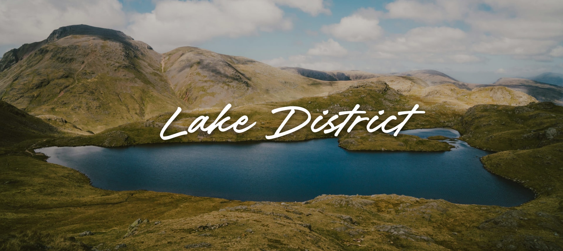
Cloud lifts off the tops, the lake below goes blue, and the path climbs out of the valley on stone steps. The Lake District holds Scafell Pike, the highest peak in England. Between its lakes and fells (the local word for its hills and mountains) run more than 3,100 km of rights of way, the paths anyone may walk. The hard part is choosing. At Buttermere a level lakeshore loop and the climb to Haystacks start from the same village, and on the high ground the weather decides more than the map. Pick by your level first, then by the month.
Which Lake District walks suit a first day or a beginner?
Start low, beside a lake, and Buttermere is the classic choice. The National Trust's Buttermere guide calls the lakeshore path relatively easy and level. It runs 4.5 miles (7 km) around the water, with one very short stretch on the road and one rock step, a short scramble where you may need your hands. The Trust, which looks after the valley, suggests allowing 3 hours so you can stop for the view down the lake to Fleetwith Pike and Haystacks.
With children, go anticlockwise: you start in the shelter of the woods and finish through a tunnel cut in the 19th century by a Manchester mill owner. From the beginning of April to the end of June a short permissive path on the north shore closes for nesting sandpipers, with waymarked alternatives.
Closer to the towns, the flat paths around Derwentwater near Keswick and the easier trails from Ambleside make a gentle start. For step free walking, the Lake District National Park Authority, which runs the national park, publishes 50 Miles without Stiles routes. They follow lake shores, rivers and tarns (small mountain lakes), and some even reach fell summits. Walking solo and want company? Its volunteers lead free guided walks across the summer, easier to more challenging, in groups of up to 20, with an optional donation to the park.

Which fell should you climb first?
Catbells, above the west shore of Derwent Water, is the natural first fell. Keswick Tourism Association, the town's not for profit tourism body, rates its Catbells walking route moderate. The 3.5 miles (5.7 km) take about 3 hours plus stops, with one short steep section on the way up and some minor scrambling. The views over Keswick, Derwent Water and Borrowdale start almost as soon as you leave the shore.
Make the approach part of the day. Take the launch from Keswick to Hawes End landing stage and zig zag up Skelgill Bank to the summit. Drop south to the saddle at Hawes Gate, then walk back along the wooded lakeshore past Brandelhow and the old mine workings. From Easter to October the 77A Honister Rambler bus from Keswick also stops at Catbells, and the 77 runs the loop in reverse for the ride back. It suits a group of friends with mixed fitness: the steep part is short, and the walk home by the water is easy talking pace.
When Catbells feels comfortable, look across to Haystacks above Buttermere. Alfred Wainwright called it "the best fell top of all". The National Trust notes it is usually climbed from Buttermere, or from Honister along the old quarry tramway.
How hard is Helvellyn via Striding Edge?
Helvellyn via Striding Edge is a hard, exposed day for experienced walkers, and the scrambling is the point. The Countryfile Helvellyn walk starts in Glenridding and climbs England's third highest mountain to a 950 m summit. It runs 7.7 miles (12.4 km) with 828 m of ascent, takes 5 to 6 hours and is graded challenging. Striding Edge is the narrow rocky ridge on the way up. You can keep to its crest, scrambling over one or two small dips, or take the more straightforward path to the right. The real test is a rock tower that has to be down climbed with care, facing into the rock.
Past the tower comes a lung bursting pull to a summit plateau broad enough that two airmen landed a plane on it in 1926. On a clear day the view from the trig pillar takes in all of Lakeland, the North Pennines and some Scottish hills. Countryfile's route comes down Swirral Edge, the second ridge, then past Red Tarn and along Glenridding Beck to the village.
Countryfile is clear: both edges are for dry, calm days and walkers with a head for heights. In winter they need mountaineering gear and experience. Expect rocky paths and steep ground; poles help on the descent. Go as a group, and let the slowest walker set the pace.
Can a beginner walk up Scafell Pike?
Scafell Pike is not a beginner's mountain, even by its shortest route. The Lake District National Park Authority says visitors to Scafell Pike must be prepared and have significant mountaineering experience. Its volunteer mountain rescue teams attend a growing number of preventable call outs to the Scafell range, particularly to Piers Gill from the Corridor Route. The most direct way up is the National Trust's route from Wasdale via Hollow Stones. The Trust's trail page lists it at 3.5 miles (5.6 km), yet allows 5 hours and grades it challenging: a tough, steep hike with scrambles over hard terrain. Mist, rain and wind are common on the summit plateau, where it is easy to lose your bearings. A missed junction on the way down can lead walkers onto steep ground above Piers Gill. A walker new to mountains should first build navigation skills with a map and compass on smaller fells, or climb with someone who already has them.
The National Trust's Hollow Stones route starts at Lake Head car park beside the Wasdale campsite; Seascale is the nearest station. The beck crossing, at about 300 m above sea level, can be fine on the way up and impassable on the way down after heavy rain. Photograph the junction above Lingmell col at 777 m: it is the one that matters on the descent. Do not trust every cairn either, because walkers build extra ones that lead the wrong way. Read all eight stages on the Trust's trail page before you go, including the compass bearings it gives for finding the way off the summit in mist, and carry them with you.
The national park's Scafell Pike page asks three questions before you set off. Do you have the knowledge and skills for the day? Do you know what the weather will do? Do you have the right gear? It names the maps too: OS Explorer OL6 and OL4 at 1:25 000, or Harvey Superwalker XT25 Lake District West.

When is the best time to hike in the Lake District?
May to September is the best time to hike in the Lake District, when the weather is milder, the trails are easier and the days are long. July and August bring the crowds, so May, June and September give the best balance of mild weather and quieter paths. Late autumn and winter bring more rain, snow that can make trails hard going or impassable, and short days.
theKlub's climate table shows the average daily high and low and the rain days for each month in the Lake District. The figures are Open-Meteo data for 2016 to 2025.
| Month | High | Low | Rain or snow days |
|---|---|---|---|
| January | 4.3 °C | 0.4 °C | 18.6 |
| February | 5.2 °C | 0.8 °C | 18.6 |
| March | 7.0 °C | 1.5 °C | 17.6 |
| April | 9.5 °C | 2.8 °C | 13.8 |
| May | 13.2 °C | 6.2 °C | 14.8 |
| June | 15.5 °C | 9.3 °C | 18.8 |
| July | 16.3 °C | 10.7 °C | 19.6 |
| August | 16.0 °C | 10.8 °C | 20.9 |
| September | 14.2 °C | 9.0 °C | 19.2 |
| October | 10.9 °C | 6.5 °C | 20.3 |
| November | 7.1 °C | 3.2 °C | 19.3 |
| December | 5.6 °C | 2.0 °C | 20.0 |
Read the rain days before the temperatures. April is the driest month, with 13.8 rain days, and August the wettest, with 20.9, so waterproofs go in the pack in every month. Spring has its own reward. In April and May the Rannerdale valley near Buttermere turns blue with bluebells; keep to the paths there, as the National Trust asks.
Pack for the fells, then get there by train
Pack for the worst hour of the day. Mountain Rescue England and Wales, the body for the volunteer rescue teams, lists what to carry on the hill:
- Suitable clothing and footwear, spare clothing, a hat and gloves, even in summer
- Plenty of food and water for the day
- A map and compass, a torch and a head torch
- A whistle: six long blasts in a minute, then a minute's pause, is the call for help
- A first aid kit with any medication you need, and a watch
Before you leave, charge your phone and check Weatherline (the Lake District's fell conditions service) and the Met Office forecast. Leave your route and return time with someone. Be ready to turn back if the weather turns.
The train takes you most of the way. The West Coast Main Line between London and Scotland stops at Oxenholme Lake District, just outside Kendal, with a connecting train to Windermere. It also stops at Penrith, where regular buses run to Keswick and Windermere. Allow around 4 to 5 hours from London. Inside the park, public transport is patchy, so check the bus for your valley before you plan a walk around it. For Scafell Pike, Seascale is the nearest station to Wasdale.
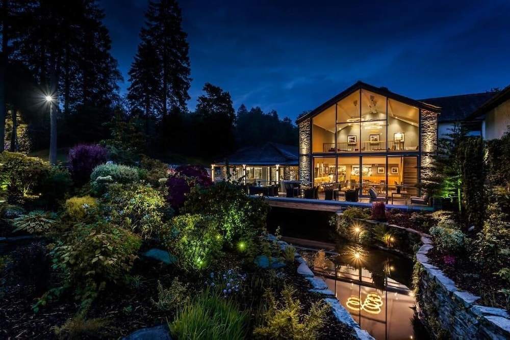
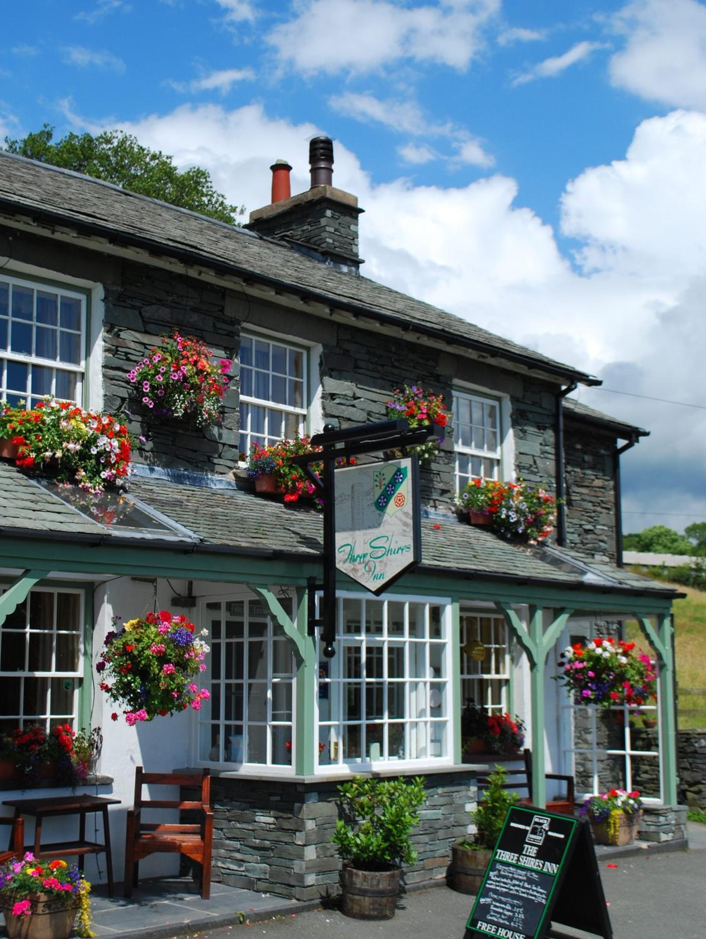
Base yourself where the transport is. In Windermere, where the connecting train arrives, Jerichos Boutique Accommodation is rated 9.6 out of 10 by guests, and Roger Ground Guest House has parking on site. Ambleside, with its easier trails and a market on Wednesdays for the rest day, has Crow How Country Guest House and Traveller's Rest Inn. Three Shires Inn, rated 9.3 out of 10, sits in Little Langdale, and The Lodge In The Vale in Keswick, where the launch and the bus to Catbells and Buttermere leave.
Where to stay
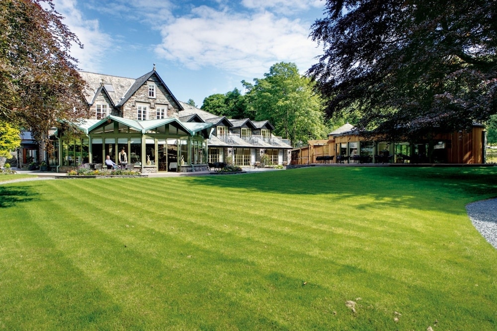
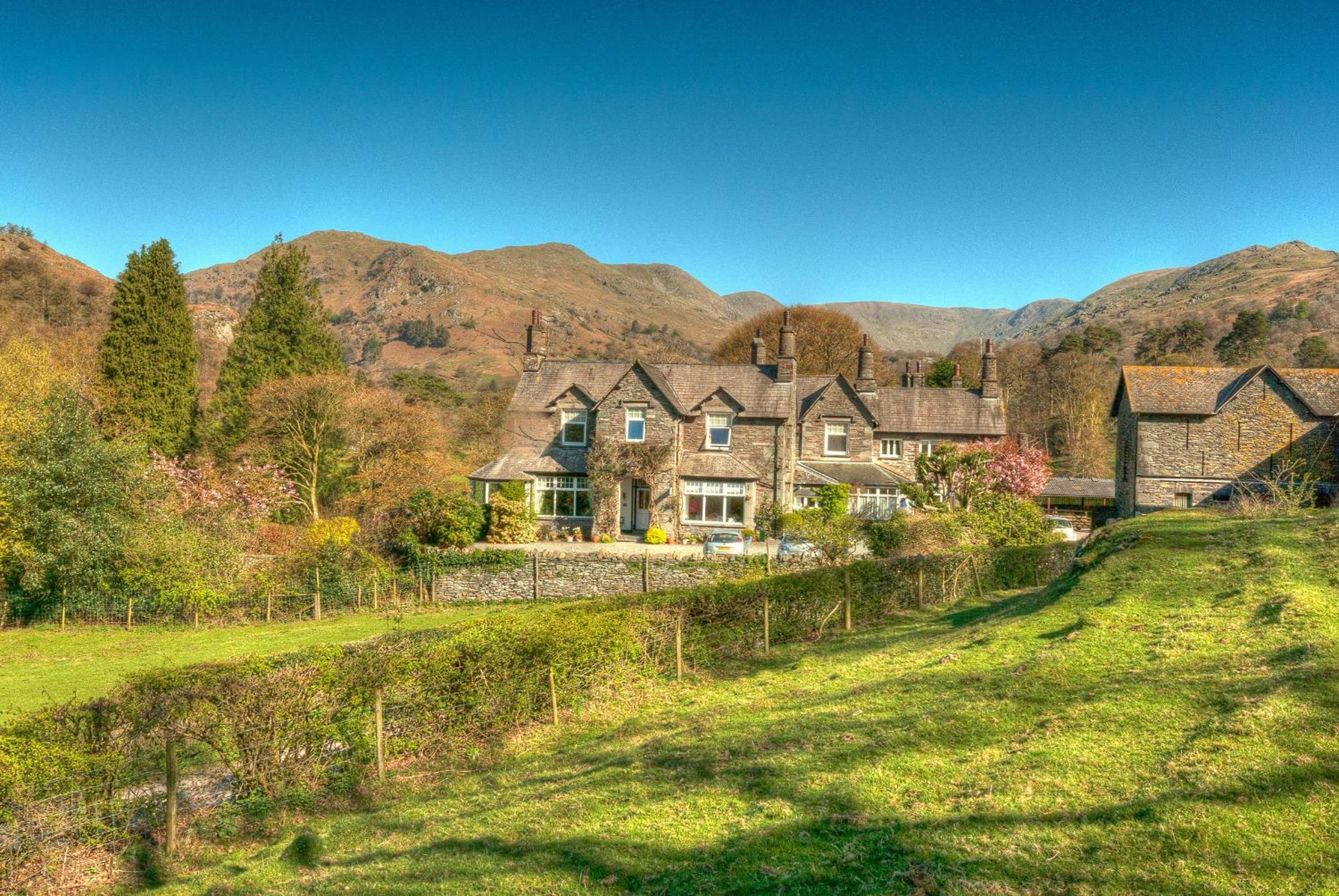
Hiking hotels in Lake District
Hotels we picked for riders and players: the right location, and the facilities a sporty stay needs.
Frequently asked questions
What is the most beautiful hike in the Lake District?
Beauty is personal, but three walks have strong backers. The National Trust says the Buttermere lakeshore path has a great reward for effort ratio. Alfred Wainwright called Haystacks, above the same lake, the best fell top of all. For drama, Countryfile says few Lake District walks match Helvellyn via Striding Edge for pure exhilaration.
Is Buttermere an easy walk?
Yes, for most walkers. The National Trust describes the 4.5 mile (7 km) lakeshore path as relatively easy and level. There is one very short stretch on the road and one rock step where you may need your hands. Allow 3 hours, and expect a short diversion on the north shore from April to June, when a path closes for nesting sandpipers.
Which hill in the Lake District is the easiest to hike?
Of the fells in this guide, Catbells is the gentlest. The route from Hawes End is 3.5 miles (5.7 km), takes about 3 hours and is rated moderate, with one short steep section and some minor scrambling. For a summit without stiles, the Lake District National Park Authority's 50 Miles without Stiles routes include some fell tops.
How long is the Ullswater Way?
The Ullswater Way is a 20 mile walking route around the whole of Ullswater, according to the Lake District National Park Authority. You can walk it in one go, or in shorter sections linked by a boat trip. That suits a group that wants a long lakeside day without the full distance.
For gritstone edges and limestone dales further south, read our guide to hiking in the Peak District.
A first trip works best as one low walk and one fell, with the big mountains kept for a clear, settled day. Our Lake District hiking page keeps the places and hotels in one spot. If you would rather walk with a group and a host, browse hiking holidays with theKlub. Start with the forecast: check Weatherline and the Met Office the evening before, then pick the walk the weather allows.