In short
Hiking Zermatt is at its best from July to September, when the trails are open. Start on the Riffelseeweg or the 5-lake route, both graded T2, step up to the Matterhorn Glacier Trail (T3), and keep the Hörnliweg (T4) and the two-day Europaweg for sure-footed hikers. Every route starts high, at a lift or railway station.
Zermatt has no cars, so every hiking day starts on rails or under a cable. The Gornergrat Railway climbs to Rotenboden, the lifts carry you to Blauherd and Trockener Steg, and from each station a marked path runs back towards the valley with the Matterhorn in front of you. Pick the right one and the mountain does the rest: a still lake that holds its reflection, a glacier that has pulled back more than 3 km, a hut terrace where climbers set off by headlamp.
Which Zermatt hikes suit your level?
First-timers and families suit the Riffelseeweg and the 5-lake route, confident walkers the Matterhorn Glacier Trail, and only sure-footed hikers with no fear of heights the Hörnliweg and the Europaweg. Two checks tell you which is which: the T grade on the route says how hard the day is, and the colour on the signpost says what the ground asks of you.
Hiking in Zermatt follows the trail system of Schweizer Wanderwege, the Swiss hiking trail federation, and Zermatt Tourism, the resort's tourist office, adds a T grade to each route on its website. Yellow signs mark hiking trails, which ask for nothing beyond normal care and firm shoes with a good grip. White-red-white marks a mountain trail: mostly steep, narrow and partly exposed, for hikers who are sure-footed, free of vertigo, fit and aware of rockfall and sudden changes in the weather. White-blue-white marks an alpine trail, which can cross snowfields, glaciers or scree and rock with short climbing steps, sometimes with no path at all. Around the village, the Riffelseeweg (1 h) and the 5-lake route (3 h 30 min) are both graded T2, the Matterhorn Glacier Trail (2 h) is T3, the two-day Europaweg is a demanding T3 and the Hörnliweg to the Matterhorn's base hut is a demanding T4 alpine trail. Every one of the five starts at a lift or railway station.
That last point matters more than any grade. The 5-lake route starts at Blauherd (2,571 m), the Riffelseeweg at Rotenboden (2,815 m) on the Gornergrat Railway, the Matterhorn Glacier Trail at Trockener Steg (2,939 m) and the Hörnliweg at Schwarzsee (2,583 m). The lifts take the climb out, so even a first day starts high. Zermatt Tourism warns that some lifts may run only partly or only to Sunnegga, so check the mountain railway timetables before each hike. Our page on hiking in Zermatt keeps the hotels we rate for hikers in one place.
How hard is the 5-lake route?
The 5-lake route (the 5-Seenweg, No. 11) is a moderate T2 walk that loses more height than it gains: Zermatt Tourism gives it 11.3 km and 3 h 30 min from Blauherd (2,571 m) to Sunnegga (2,288 m), with 265 m of climbing and 542 m of descent. It fills a half day without hurrying.
The path links five lakes in this order: Stellisee, Grindjisee, Grünsee, Moosjisee and Leisee. In good weather the Matterhorn shows in three of them, Stellisee, Grindjisee and Leisee, so the camera comes out early. Each lake has its own character. Rare flowers grow at Grindjisee, larches hold on in rubble and sand at Grünsee, and the route crosses the moraine of the Findel glacier, the ridge of rock the ice left behind.
Leisee is the lake to plan a long stop at. It has picnic tables, a children's playground and swimming, and Grünsee has swimming too, so pack swimwear on a warm day. There are mountain restaurants along the way if the group would rather sit down than picnic. Zermatt Tourism rates the route suitable for children from 6. Walked the other way, from Sunnegga up to Blauherd, it takes about 3 h 50 min.
Who it suits: families, a first day at altitude, or a group of friends with mixed legs who want one walk they can all finish together.
Walk down from the Gornergrat past the Riffelsee
Take the Gornergrat Railway to Rotenboden (2,815 m) and walk the Riffelseeweg (No. 21) down to Riffelberg (2,582 m): 2.9 km, about 1 h, graded T2, with 13 m of climbing and 267 m of descent. Zermatt Tourism calls the Riffelsee its most beautiful photo subject: the Matterhorn upside down in usually calm water.
Ride to the top first. Zermatt Tourism suggests going on to the Gornergrat, where the viewing platform shows 29 four-thousand-metre peaks, then riding back down to Rotenboden to start. The path suits children from 4, the alpine flora is rich, and in the Gaggenhaupt area you may see ibex, depending on the season. In spring snow can still block the path.
For a longer morning, the railway's own walk from Rotenboden to Riffelalp runs 5.9 km in about 1 h 30 min. You reach the Riffelsee after about 15 minutes, then head down towards the Matterhorn, watching for edelweiss among the alpine flowers. After about 30 minutes the path turns north west with the Weisshorn ahead, drops through meadows and a little wood, and runs level through Swiss stone pine forest to Riffelalp station. The Hotel Riffelalp was built here in 1884 and burned in 1961; today the Riffelalp Resort 2222m stands in its place, a 5 star hotel guests rate 9.8 out of 10, linked to the station by what the railway calls Europe's highest tram.
Who it suits: the easiest high day, children, photographers, and anyone who wants to save their legs for tomorrow.
How close to the Matterhorn can you hike?
You can walk right to the Hörnlihütte at 3,260 m, the hut at the foot of the Matterhorn where the climbing route up the Hörnli ridge begins. The last stretch is a demanding T4 alpine trail, so build up to it on the Matterhorn Glacier Trail first. The two trails meet at Schwarzsee.
Walk the glacier's retreat first
The Matterhorn Glacier Trail (No. 26) runs 6.6 km from Trockener Steg (2,939 m) to Schwarzsee (2,583 m) in about 2 h, with 174 m of climbing and 515 m of descent. Zermatt Tourism grades it a moderate T3 on a safe path over gravel and rock shaped by the old glacier, past small lakes and close to the ice and its meltwater. Since the Little Ice Age around 1850, the Furgg and Theodul glaciers have pulled back more than 3 km, and panels in German, English, French and Japanese explain what the ice leaves behind. Look for the Matterhorn's reflection in the Theodul glacier lake. Who it suits: confident walkers who want the glaciers up close without exposure.
Climb to the Hörnli hut with a head for heights
The Hörnliweg (No. 27) climbs 693 m over 4.3 km from Schwarzsee to the Hörnlihütte in about 2 h 15 min, past the small lake and chapel at Schwarzsee, and takes about 1 h 30 min back down. Zermatt Tourism grades it a demanding T4. The path is partly exposed and crosses metal stairs with grating treads that hang over nothing, so you need sure feet and no fear of heights. Contact the hut for the latest trail conditions before you set off.
The pull is history. The first ascent of the Matterhorn started here on 14 July 1865; of the seven climbers, only three came back to Zermatt, Edward Whymper among them. You can stay the night at the hut with a reservation. From the terrace in August and September, bring binoculars and watch the climbers who set off very early in the morning with headlamps on the Hörnli ridge above. Who it suits: fit, sure-footed hikers who have walked alpine trails before.

Take on the Europaweg over two days
The Europaweg links Grächen (1,620 m) and Sunnegga above Zermatt in two stages: 39 km, 2,550 m of climbing and about 13 h 30 min of walking, graded a demanding T3. Zermatt Tourism notes that some consider it the most beautiful two-day hike in the Alps. The municipalities of St. Niklaus, Grächen, Randa, Täsch and Zermatt created it in 1997.
Day one runs from Grächen via Herbriggen, which has hotel rooms, to the Europahütte above Randa in 6.5 to 7.5 h. Day two takes 6 to 7 h to Zermatt via Täschalp, Tufteren and Sunnegga, and starts on the Charles Kuonen suspension bridge, the longest pedestrian suspension bridge in the Alps: 494 m long, up to 85 m above the ground, with a grating floor that takes just under 10 minutes to cross. Avoid it in a thunderstorm. Walking north to south, you head towards the Matterhorn and keep seeing its north face and the Hörnli ridge.
Unsure about heights? Try the suspension bridge at Furi above Zermatt first: 100 m long and 90 m above the Gorner Gorge. When this guide was written, Zermatt Tourism listed a closed section between Springelboden and Eggenstadel, with a marked detour via Attermenzen and Täsch and a taxi option from Attermenzen to Täschalp, so check the route page before you go. Who it suits: fit, experienced hikers who want two full days on the trail.
When should you go hiking in Zermatt, and how do you get there?
Go from July to September, when the trails are fully open and the days are long; it is also when the popular paths are busiest, so start early. Spring brings lingering snow and rain, and from late autumn many trails close under snow.
theKlub's climate table shows the average daily high and low and the days with rain or snow (1 mm or more) for each month, measured in the village in the valley. The trails start between 2,571 m and 2,939 m, well above it, so read the table as the village and pack for colder air up high.
| Month | High | Low | Rain or snow days |
|---|---|---|---|
| January | -0.8 °C | -7.2 °C | 13.3 |
| February | 1.6 °C | -5.6 °C | 10.5 |
| March | 2.5 °C | -5.1 °C | 12.5 |
| April | 5.2 °C | -1.9 °C | 11.7 |
| May | 9.1 °C | 2.6 °C | 12.8 |
| June | 15.5 °C | 7.0 °C | 12.0 |
| July | 18.3 °C | 9.2 °C | 11.4 |
| August | 18.3 °C | 8.8 °C | 10.2 |
| September | 14.1 °C | 5.8 °C | 11.6 |
| October | 9.9 °C | 2.2 °C | 10.9 |
| November | 3.1 °C | -3.5 °C | 13.3 |
| December | 0.9 °C | -5.5 °C | 12.9 |
July and August are the warmest months in the village, with average highs of 18.3 °C, and still bring rain or snow on 10 to 11 days a month. Mountain weather changes quickly. Zermatt Tourism's advice on its route pages: carry rain protection, enough food and water, turn back in good time if the weather looks uncertain, tell someone your plan, stay on marked paths and never go onto a glacier without a mountain guide.
Arrive by train. Zermatt has always been closed to cars, and Zermatt Tourism says trains run every half hour, taking about 3 h 30 min from Zurich Airport and 4 h from Geneva or Basel airports. Drivers park in Täsch, 5 km before the village, where the Matterhorn Terminal has 2,100 covered spaces, and ride the shuttle train, which leaves every 20 minutes and takes 12 minutes. Driving on without authorisation brings large fines. In the village, a free e-bus and your own feet cover the rest.

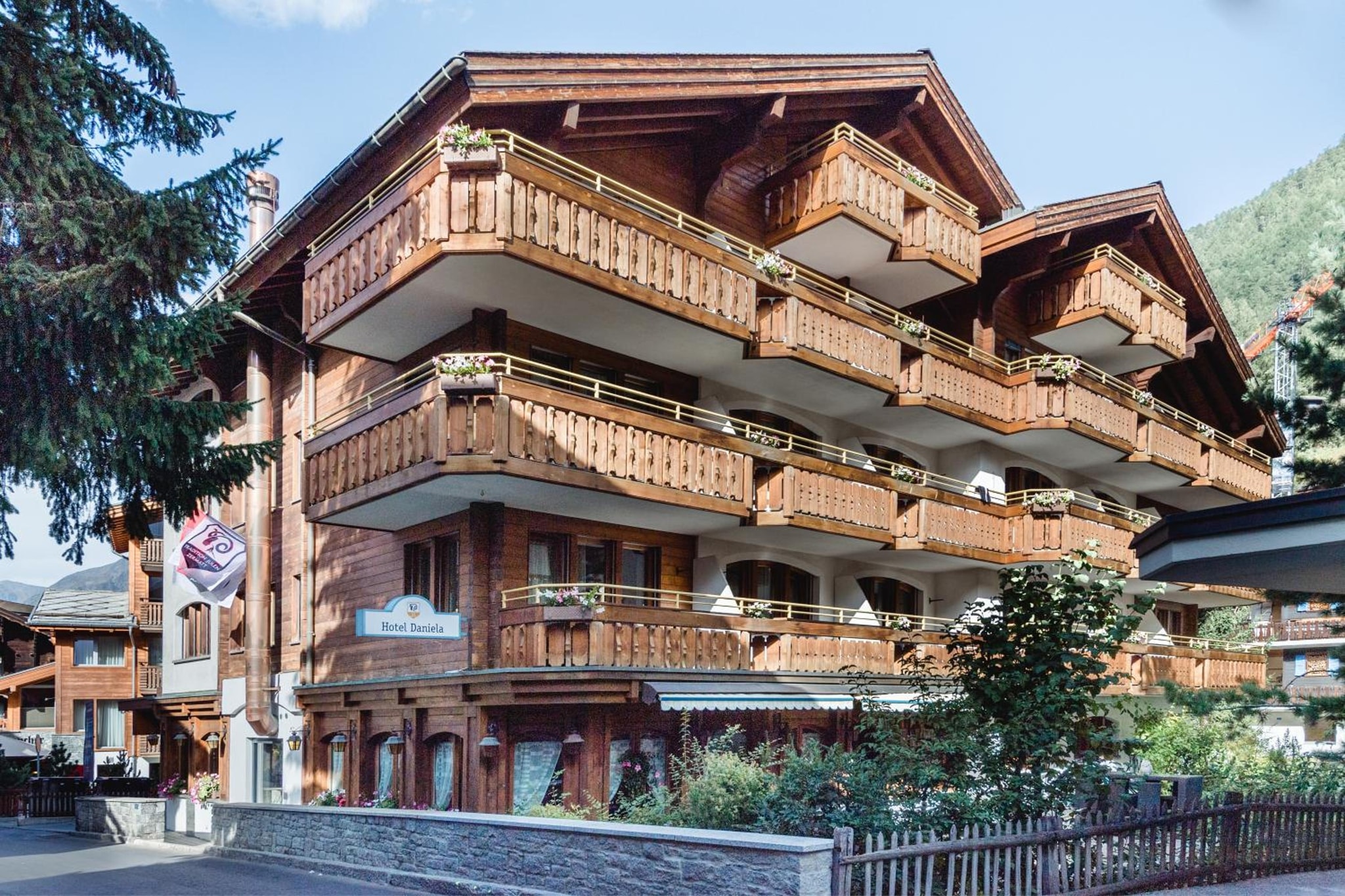
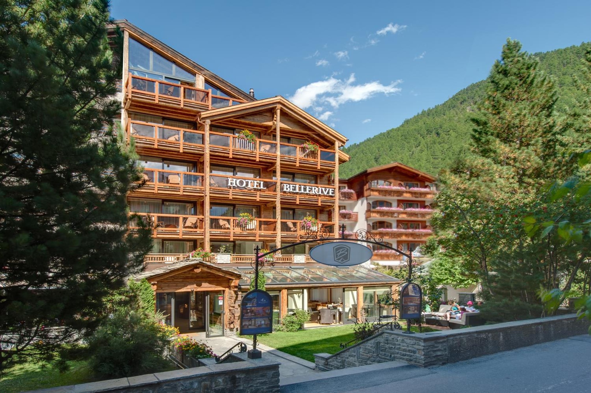
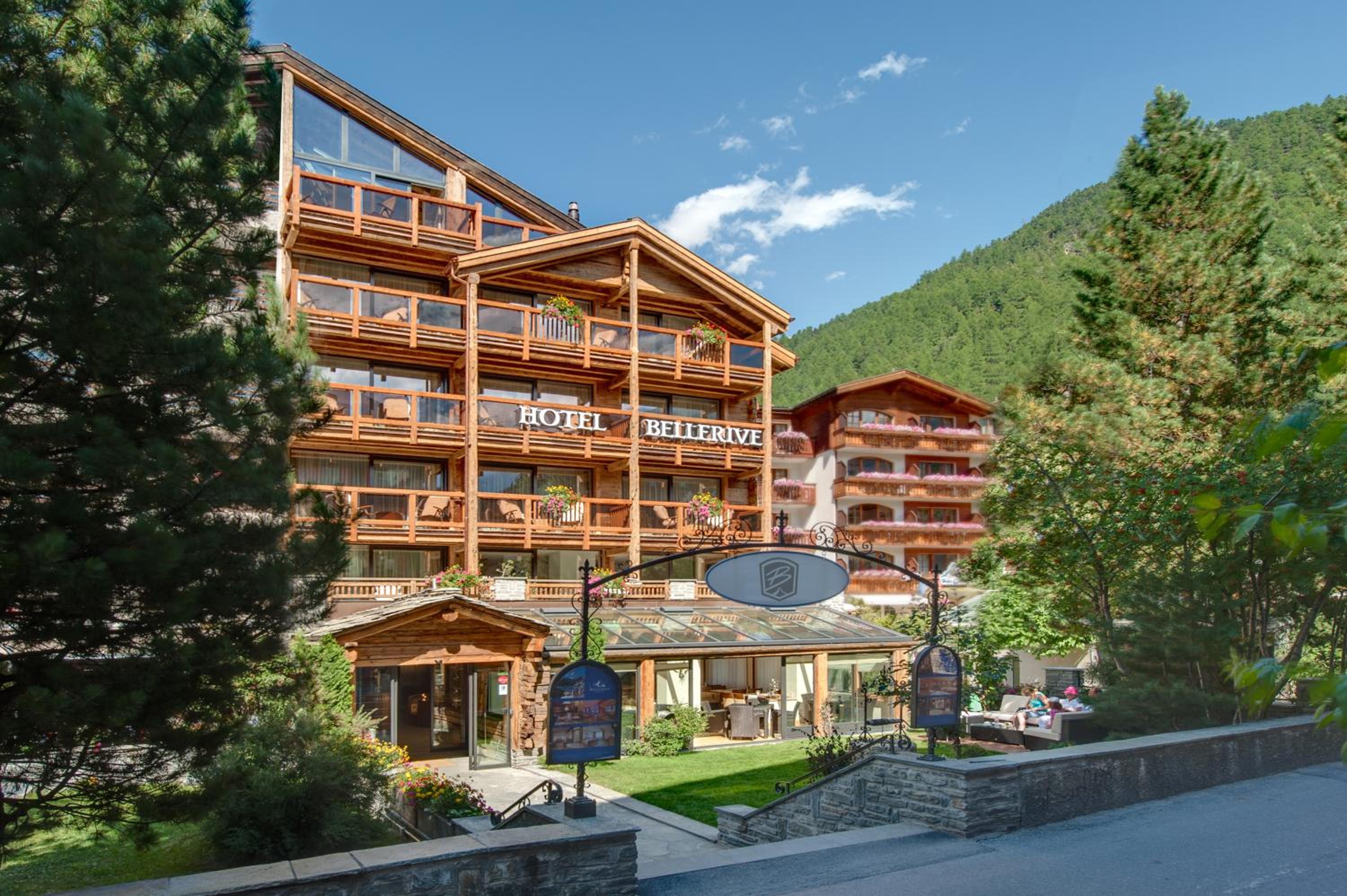
For a base, guests rate Hotel Bellerive 10.0 out of 10 across 511 reviews, and Hotel Daniela 9.6 across 1,423 reviews. For a whole week built around the trail, look through the hiking holidays with theKlub.
Frequently asked questions
Can you hike in Zermatt with children?
Yes. The Riffelseeweg from Rotenboden to Riffelberg suits children from 4 and takes about an hour, mostly downhill. The 5-lake route suits children from 6 and has swimming at Leisee and Grünsee, plus picnic tables and a playground at Leisee. Both start from a railway or lift station, so little legs skip the climb.
What should you pack for a day hike in Zermatt?
Good footwear with a firm grip, rain protection on every route, warm layers, enough food and water, and a map or an offline trail map, since phone signal can be patchy. Hiking poles help on the descents. Add swimwear for the 5-lake route and binoculars for the Hörnli hut, where you can watch climbers on the ridge.
Is it safe to hike alone in Zermatt?
Zermatt is generally safe for solo hikers on the marked trails, but tell someone your route before you leave. Zermatt Tourism's advice is never to go alone if you can avoid it, to turn back early in uncertain weather and never to step onto a glacier without a mountain guide. A guided hike is the simple answer on harder routes.
What can you do on a rest day in Zermatt?
Walk to Winkelmatten for its old chalets and Matterhorn views, then visit the Zermatlantis Matterhorn Museum, which holds the torn rope from the first ascent of 1865. Try Valais raclette and cured meats in the village shops, or take the lift to Sunnegga for an easy swim in the Leisee.
New to mountain walking? Build your legs on the fells first with our guide to hiking in the Lake District.
For hut-to-hut walking in Italy, read our guide to Dolomites walking holidays.
Zermatt rewards the hiker who plans one day ahead: the right lift, the right grade, the right weather window. Start low on the grades and let the Matterhorn pull you higher as the week goes on. Tonight, check the mountain railway timetables, then take the lift to Blauherd in the morning and walk the 5-lake route.