In short
Hiking in Snowdonia (Eryri), Wales, starts with Yr Wyddfa (Snowdon), 1,085 m: six summit paths, all graded Hard/Strenuous, 11 to 14.5 km there and back, allow 6 to 8 hours. The Llanberis Path suits a first ascent. Tryfan adds a rock scramble, Cadair Idris three more summit paths, and Cwm Idwal and the Mawddach Trail gentler days.
Over 600,000 people reach the summit of Yr Wyddfa each year, some on foot and some by train. On a summer day the top can get extremely busy. Walk away from it and Eryri changes fast: the rock fin of Tryfan rearing out of the Ogwen Valley, the ridge above Llyn Cau on Cadair Idris, the Mawddach estuary running flat and wide to the sea at Barmouth. Each one rewards the same good choices. Pick the path that fits your legs, the bus that beats the car park, and a bed close enough for an early breakfast.
Which path up Yr Wyddfa (Snowdon) suits you?
For a first ascent, take the Llanberis Path. For quieter slopes, pick Rhyd Ddu or the Snowdon Ranger. For a steep, rocky day, start at Pen y Pass on the Pyg Track or the Miners' Track. The Eryri National Park Authority, which runs the national park, lists all six on its climbing Yr Wyddfa page.
| Path | Length there and back | Time | Grade |
|---|---|---|---|
| Llanberis Path | 14.5 km | 7 hours | Hard/Strenuous |
| Miners' Track | 13 km | 6 hours | Hard/Strenuous |
| Pyg Track | 11 km | 6 hours | Hard/Strenuous |
| Watkin Path | 13 km | 6 hours | Hard/Strenuous |
| Rhyd Ddu Path | 12 km | 6 hours | Hard/Strenuous |
| Snowdon Ranger | 13 km | 6 hours | Hard/Strenuous |
The Llanberis Path is the most popular way up Yr Wyddfa. The Eryri National Park Authority rates it best for first-timers who are comfortable with strenuous mountain hikes. The path runs 14.5 km there and back from the village of Llanberis, climbs over 3,000 feet and takes about 7 hours. Its ascent is the most gradual of the six. Even so, the Authority grades it Hard/Strenuous, like every route to the summit. That grade means experienced mountain walkers only, with a good level of fitness and a sound knowledge of navigation. Llanberis has the best public transport of the six starts and usually plenty of parking. The Sherpa'r Wyddfa bus links the village to the other trailheads. The path gets very busy in spring and summer. Anyone unsure of their fitness should first try a moderate mountain walk, because every route to this summit is a challenging undertaking.
Rhyd Ddu and the Snowdon Ranger climb the western slopes. Rhyd Ddu starts in the village of that name, and the Snowdon Ranger on the shore of Llyn Cwellyn, about a mile and a half away. Both are often called the quieter routes to Yr Wyddfa, though summer still brings company. They suit a group with strenuous mountain days behind them who would rather share the path with fewer people.
The Pyg Track and the Miners' Track both leave Pen y Pass. They are shorter than the Llanberis Path but much steeper, so pick them only if steep, rocky ground is familiar. The Pyg climbs 895 m in total. It winds up to Bwlch y Moch for your first view of Llyn Llydaw and its causeway, then merges with the Miners' Track. Together they join the Llanberis Path at Bwlch Glas for the last pull to the top. The Watkin Path, 13 km there and back, completes the six.

Get to the trailhead: parking, buses and early starts
Take the bus if you can. The Sherpa'r Wyddfa stops at the trailhead of all six summit paths, and the car parks fill early. The S1, S2 and S5 all run to Pen y Pass. The best connections are from Nant Peris or Llanberis, and the S1 also comes from Betws y Coed and Caernarfon.
- Pen y Pass, for the Pyg and Miners', is pre-book only for most of the year, through the JustPark website.
- Nant Peris fills rapidly in the main season: plan to arrive by 7am.
- Rhyd Ddu has 60 spaces, which can fill by 8am in spring and summer. The Snowdon Ranger car park has fewer.
- Llanberis usually has plenty of parking.
- Ogwen, for Tryfan and Cwm Idwal, has very little parking. The T10 bus between Bangor and Corwen and the Bws Ogwen electric bus from Bethesda both stop at Llyn Ogwen.
- Cadair Idris has car parks at Dôl Idris (Minffordd), Tŷ Nant and Llanfihangel y Pennant. The T2 TrawsCymru bus stops at Minffordd and Dolgellau.
Where should you hike in Eryri beyond Yr Wyddfa?
Go to Tryfan if you want your hands on rock. Go to Cadair Idris, in southern Eryri, if you want a big summit away from Yr Wyddfa's paths.
Tryfan and Glyder Fach: a hands-on day
The British Mountaineering Council, the national body for climbers and hill walkers, describes Tryfan as a vast fin of rock rearing out of the Ogwen Valley. An old saying holds that you cannot reach its summit without using your hands. The classic line is the North Ridge, a Grade 1 scramble: steep ground where you climb rock with hands as well as feet. The Council calls it a perfect introduction to scrambling. Most people start from the A5 layby directly below the ridge, on the path to the left of Milestone Buttress.
The climbing is rarely technical; navigation is the test. Andy Jones is a mountain instructor and a member of the Ogwen Valley mountain rescue team. He told the British Mountaineering Council's Tryfan guide that the team is often called out to people lost in cloud or stuck in gullies. At the North Tower, aim straight for its top rather than skirting round it.
On the summit stand two stones, Adam and Eve, and summiteers celebrate by jumping from one to the other. For a longer day, carry on down the South Ridge to Bristly Ridge, the Cantilever and over Glyder Fach. For a shorter one, drop from Bwlch yr Tryfan towards Llyn Bochlwyd. Keep Tryfan for a decent day: rain makes the rock slippery, and full winter conditions call for an ice axe and crampons.
Cadair Idris: three paths above Dolgellau
At 893 m, Cadair Idris is one of the highest mountains in southern Eryri. Its peaks can be seen from the coast at Tywyn and Barmouth and from the market town of Dolgellau below. All three paths to the summit, Penygadair, are graded hard/strenuous. There are no toilets on the mountain, so use the ones at the car parks. Visit Wales, the national tourism website for Wales, sets out the paths in its Cadair Idris walking routes:
- Pony Path, from Tŷ Nant: 10 km, allow 5 hours. Steps help on a steepish climb with views over the Mawddach estuary, then a scramble to the trig point. The usual first choice.
- Minffordd Path, from Dôl Idris: 10 km, allow 5 to 6 hours. The shortest and the steepest, up lots of steps through ancient woodland to the ridge above Llyn Cau. For a short, sharp day.
- Llanfihangel y Pennant Path, from a hamlet in the Dysynni Valley: 16 km, allow 7 hours. The quietest, with a stream to ford and soggy hillsides. Gentle until it joins the Pony Path.

Which gentle walks suit a first day or a rest day?
Cwm Idwal and the Mawddach Trail give you the national park's big scenery without a summit's demands. Both make a good warm-up, a day for tired legs, or a day out for a group of mixed ability.
The Cwm Idwal circular is 5 km with 140 m of climbing, about 2 hours from the Ogwen Centre. The Eryri National Park Authority grades it moderate. Cwm Idwal was the first designated National Nature Reserve in Wales, and Charles Darwin did much of his scientific work here. Arctic alpine plants such as moss campion and purple saxifrage have survived in the valley since the Ice Age. The path up towards Twll Du (Devil's Kitchen) crosses loose rock and boulders. A shorter route avoids that climb and suits less experienced walkers.
The Mawddach Trail follows an old railway line for 15 km from Dolgellau to Barmouth, along the estuary's southern edge. It is essentially flat and at least 3 m wide for most of its length, open to walkers, cyclists and wheelchair users. Birdwatchers stop at Penmaenpool, where the old signal box is now an observatory of the Royal Society for the Protection of Birds (RSPB). The trail ends across the railway bridge into Barmouth. Buses run on either side of the estuary, so you can walk one way and ride back.
On a true rest day, Betws-y-Coed has outdoor shops and delis, and Llyn Padarn at Llanberis is good for a wild swim.
Pack for the summit, not the car park
Pack for the top, which the Eryri National Park Authority warns is much colder, wetter and windier than the start. Check the Yr Wyddfa summit forecast from the Met Office, the UK's weather service, before you go. Tell someone your route and when you expect to be back. Visit Wales's guide to walking Yr Wyddfa and the Authority agree on the basics:
- Walking boots with a thick sole and high sides, never trainers.
- Waterproofs and spare warm layers, even on a sunny day.
- A map and compass, and the skills to use them.
- A charged phone, though there is little signal until the top.
- A torch, a whistle and a small first aid kit with an insulated foil blanket.
- High energy food and plenty to drink: the tap water at the summit is not safe to drink.
Hafod Eryri, the summit cafe, opens only when the Snowdon Mountain Railway is running. It also has the only toilet on Yr Wyddfa. Hiking is at its best from May to September, with longer, usually drier days and bigger crowds. In winter conditions you cannot reach the summit without crampons or an ice axe and the knowledge to use them.
Where should you stay for hiking in Snowdonia?
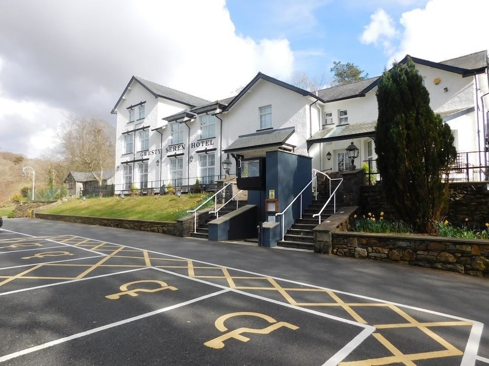
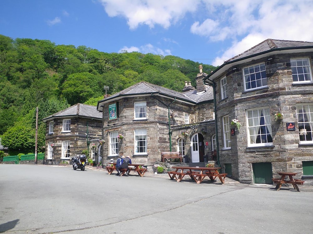
Stay in Betws-y-Coed for the northern peaks and in Dolgellau for Cadair Idris and the Mawddach Trail. Betws-y-Coed sits on the S1 bus to Pen y Pass. There, Afon Gwyn Country House is a 5-star stay rated 10.0 out of 10 by guests. The Royal Oak Hotel, Ty Gwyn Hotel and Tyn-y-Coed Inn are rated between 8.8 and 9.0, and suit a group sharing a week of big days.
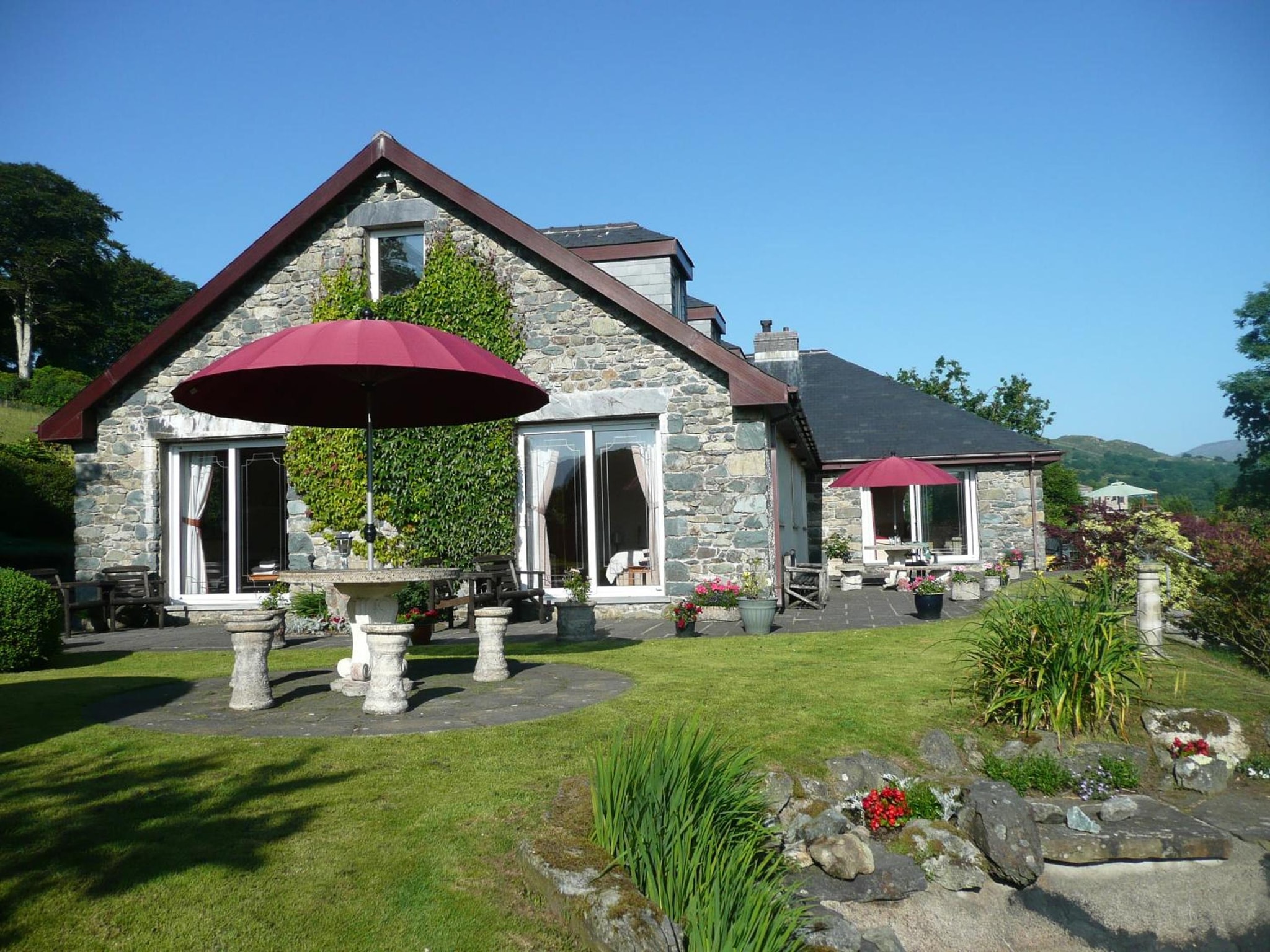
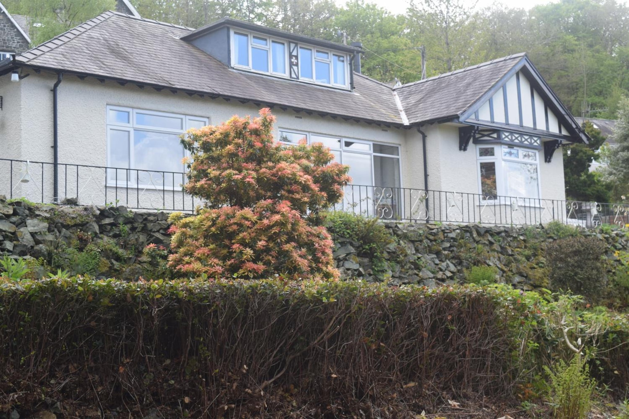
For the south, Borthwenbnb in Dolgellau and Heulwen Guest House are both rated 9.8, with Cadair Idris over the town and the Mawddach Trail starting by the bridge. At the trail's far end, The Tilman in Barmouth suits a couple who want the sea after the hills.
The table shows the hotels theKlub rates for hiking across the area, with guest scores and indicative nightly rates.
| Hotel | Town | Guest rating |
|---|---|---|
| Afon Gwyn Country House | Betws-Y-Coed | 10.0 / 10 |
| Borthwenbnb | Dolgellau | 9.8 / 10 |
| Heulwen Guest House | Dolgellau | 9.8 / 10 |
| The Tilman | Barmouth | 9.2 / 10 |
| Royal Oak Hotel | Betws-y-coed | 9.0 / 10 |
| Ty Gwyn Hotel | Betws-y-coed | 9.0 / 10 |
| Tyn-y-Coed Inn | Betws-y-coed | 8.8 / 10 |
| The Oakeley Arms Hotel | Blaenau Ffestiniog | 8.8 / 10 |
Our page on hiking in Snowdonia keeps the seasons and these stays in one place.
Frequently asked questions
How long should it take to walk up Snowdon?
Allow 6 to 8 hours up and back, as Visit Wales advises. The Eryri National Park Authority lists the six main paths at 11 to 14.5 km there and back. It gives about 6 hours for most and 7 for the Llanberis Path, the longest. Fitness, route and crowds all change the time, so start early and carry a torch.
Can a beginner hike Snowdon?
A fit beginner can, with care. The Eryri National Park Authority grades every summit path Hard/Strenuous and suggests a moderate mountain walk first, such as the Cwm Idwal circular. For the first ascent, the Llanberis Path has the most gradual climb. For the summit without the walk, take the Snowdon Mountain Railway when it runs.
Is Snowdonia a difficult hike?
It depends where you walk. The Mawddach Trail is flat and wide enough for wheelchair users, and Cwm Idwal is graded moderate. Every path up Yr Wyddfa and Cadair Idris is graded hard or strenuous, and Tryfan needs scrambling. Fast-changing weather makes any of them harder, so check the forecast and plan for rain.
What is the most beautiful hike in Snowdonia National Park?
Taste decides, but the Eryri National Park Authority counts Cwm Idwal among the most impressive places in the national park. It is a glacial bowl of towering cliffs around a lake, 5 km and about 2 hours from the Ogwen Centre. For a summit day, the Minffordd Path on Cadair Idris climbs through ancient woodland past Llyn Cau.
Yr Wyddfa is one of Britain's Three Peaks with Ben Nevis and Scafell Pike, the highest in England: our guide to hiking in the Lake District covers Scafell Pike.
For island walking in Scotland, read our guide to hiking on the Isle of Skye.
Eryri rewards the hiker who plans the morning as carefully as the mountain. Match the path to the group, let the bus beat the car park, and sleep on the right side of the national park. Start with one big day and one gentle one, and let the weather pick which comes first. The places we know for walkers sit together under hiking holidays with theKlub. Before you book a bed, check the Sherpa'r Wyddfa timetable for your trailhead and choose a base on its route.